| PETERVANHAM.COM BIOGRAPHIES BOOKS MUSIC / FILM PUBLICATIONS & LECTURES NORTHEAST INDIA WESTERN HIMALAYAS PHOTO-ARCHIVES UPCOMING CONTACT |
|||||
| Travel to the Changthang with Great Himalayan Travels |
|||||


One of the geographic regions that were formed by this collision was the area of Rupshu, a dry and barren plateau southeast of Ladakh. Rupshu belongs to Changthang, a high altitude plateau with gentle slopes, vast highlands and giant lakes. From Eastern Ladakh Changthang stretches app. 1600 kms into Tibet. Due to its average height of 4800 metres, its seclusion, inaccessibility and hostile climate much of the ancient Tibetan customs have been preserved here. The trade with wool and salt still takes place along the ancient trade-routes and political boundaries do not seem to matter for the sturdy Chang-pa nomads which still flock between Leh, Karzok and Western Tibet.

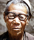
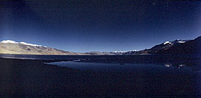
The lake remains frozen through winter when the temperature falls to -40 degrees Celsius. It is one of the few places in India where the bar-headed goose breeds. Large numbers of marmots and hares roam at its banks. The people living along its shore calling themselves Chang-pas are mostly nomads concerned with the breeding of yaks and pashmina goats. They have retained a remarkable animal management system that balances livestock and pasture, allowing them to inhabit the harsh and inhospitable Changthang without destroying their resource base. There is only one semi-permanent settlement at Tso Moriri, the small and run-down village of Karzok on the northwestern side of the lake. Its barley fields rank among the highest in the world.

• Lake Tso Moriri
• The Manali-Leh Highway
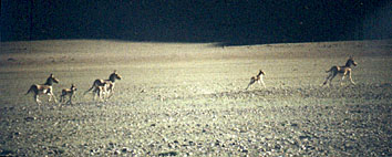
• The Kyangs (wild ass)
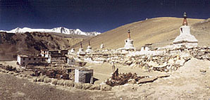
• Karzok town and monastery
• Numerous 5000 metres high passes
• The landscape...
All these highlights and more are the subject of three books by Peter van Ham:
BUDDHA´S MOUNTAIN DESERT
The Secret Tibetan Heritage in the Himalayas or
THE FORGOTTEN GODS OF TIBET
Early Buddhist Art in the Western Himalayas or
ON THE PATHS OF THE BUDDHA
2000 kms through the Western Himalayas (in German language)
on the Western Himalaya:
KINNAUR, SPITI, TABO MONASTERY,
LAHAUL, NUBRA